Want to learn more about your community? Looking for some great historical information about Long Island? Curious to know more about how your neighborhood compares to others in the region?
The Long Island Index offers a variety of interactive maps that can answer these questions and more!
Select from our maps below:
 Long Island Index Maps
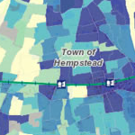
The Long Island Index has launched a new set of interactive maps that enables Long Islanders to access easily an extraordinary array of data about our region and its communities. The map provides a wealth of information about the region, its characteristics, and key indicators – as well as its individual communities and their attributes. Maps of Long Island’s Special Districts and Multifamily Housing have also been integrated into these new maps rather than being a standalone system.
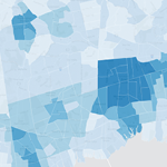 Historic Census Maps
New interactive maps showing 40 years of demographic transformation across Long Island.
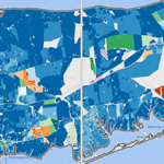 Visualizing a Changing Region, Block by Block
A birds-eye view of demographic change on LI from 2000-2010, down to the smallest level that the census is able to provide data.